Fortell venner om denne varen:
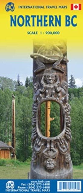
British Columbia Northern ITM Publications 1. utgave
Pris
NOK 139
Bestillingsvarer
Forventes levert 2. - 9. nov
 Julegaver kan byttes frem til 31. januar

Få varsel om nye utgivelser fra ITM Publications


Legg til iMusic ønskeliste
eller
British Columbia Northern
ITM Publications
Side 1 is of the western portion, including the Alaskan Panhandle, with the route followed by cruise ships heading north and clearly delineates the border between Canada and the USA. It also shows the Stewart Highway heading north towards the Yukon, with its branch leading to Hyder, Alaska, the only place in the USA that uses Canadian money and does all its banking in Canada. The second side covers the eastern half of BCs north, with the Alaska Highway starting in Dawson Creek and extending north to Fort Nelson before veering west into the eastern edge of the Rocky Mountains to the Yukon border.
1 pages
| Media | Bøker Landkart (Land- eller sjøkart) |
| Utgitt | 25. februar 2023 |
| ISBN13 | 9781771294157 |
| Utgivere | ITMB Publishing |
| Sjanger | Maps & Guides |
| Antall sider | 1 |
| Mål | 249 × 105 × 12 mm · 56 g |
| Språk | Engelsk |